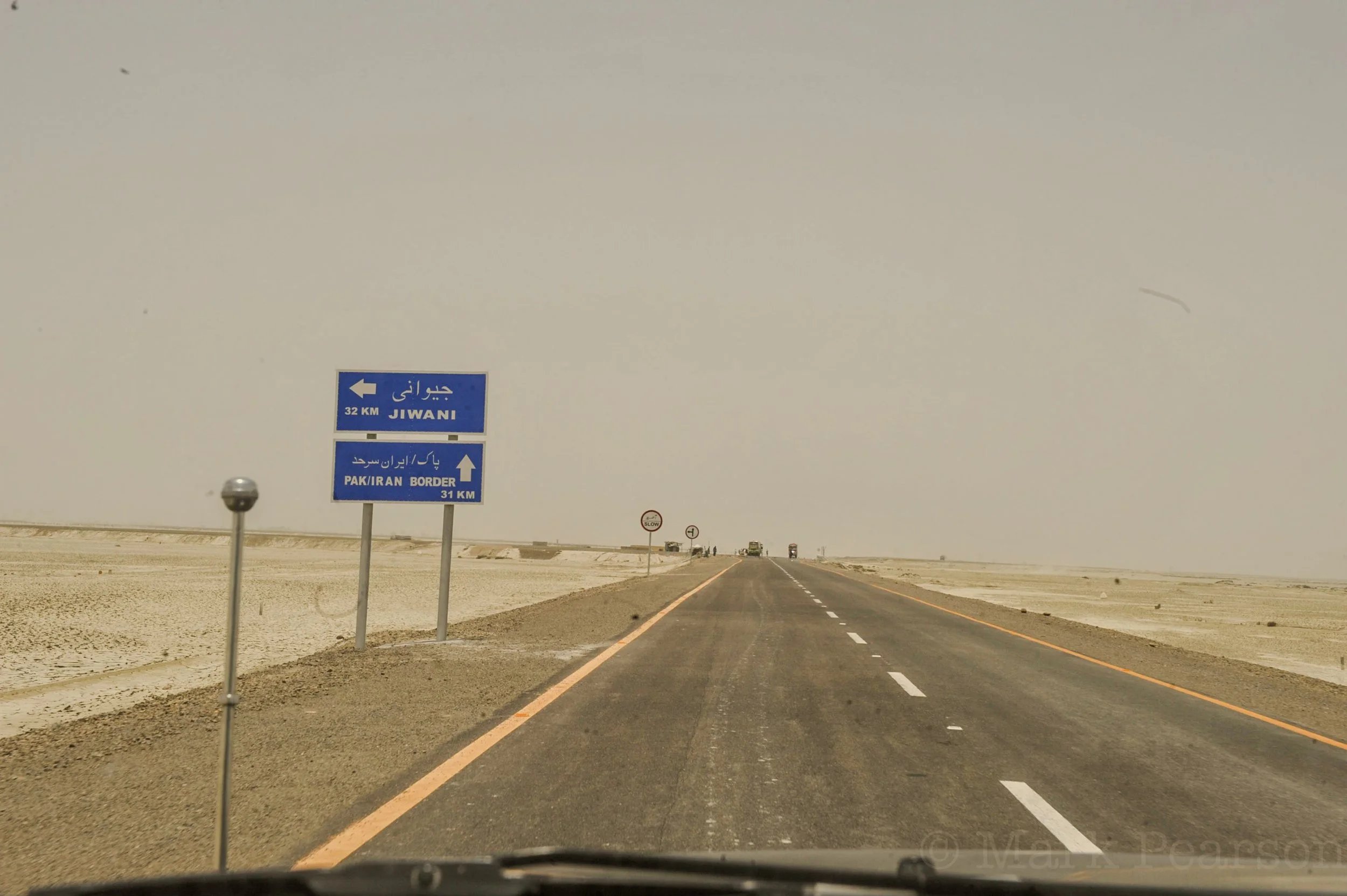
Field video documentation — Iran-Pakistan border transit, sandstorm conditions. Filmed from inside a moving vehicle, this footage records the movement of a convoy along the desert frontier in adverse weather conditions. Strong wind and airborne sand significantly reduce visibility, illustrating environmental challenges encountered during transit operations in remote and controlled territory. The recording provides a temporal and spatial reference for movement patterns, road conditions, and geophysical factors affecting mobility in high-risk border environments. Primary field material, archive under review.
Balochistan — Controlled Transit Territory
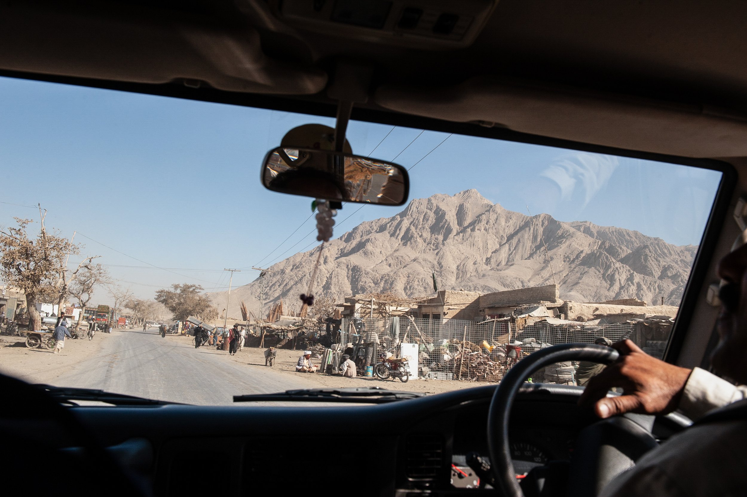
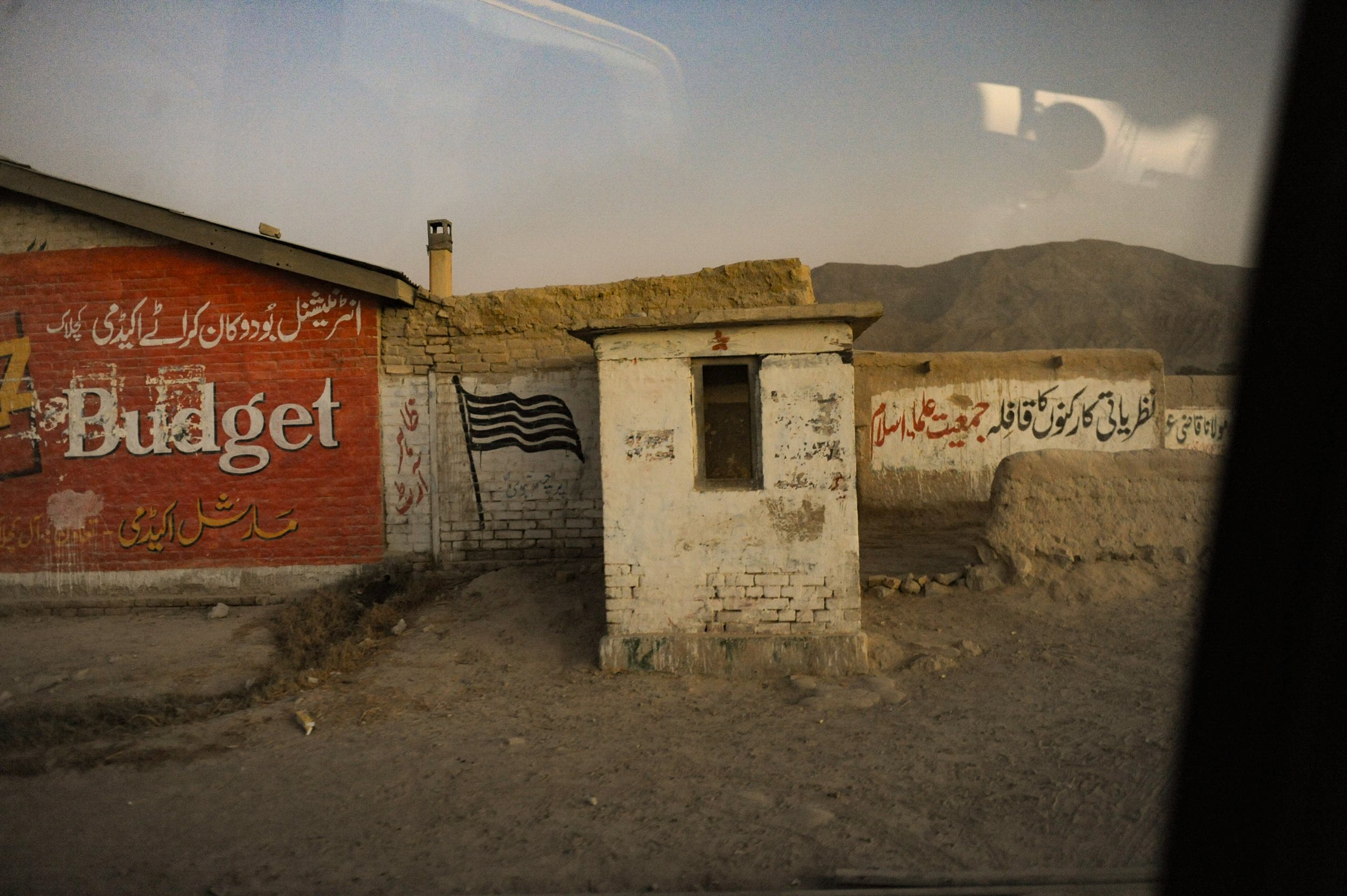
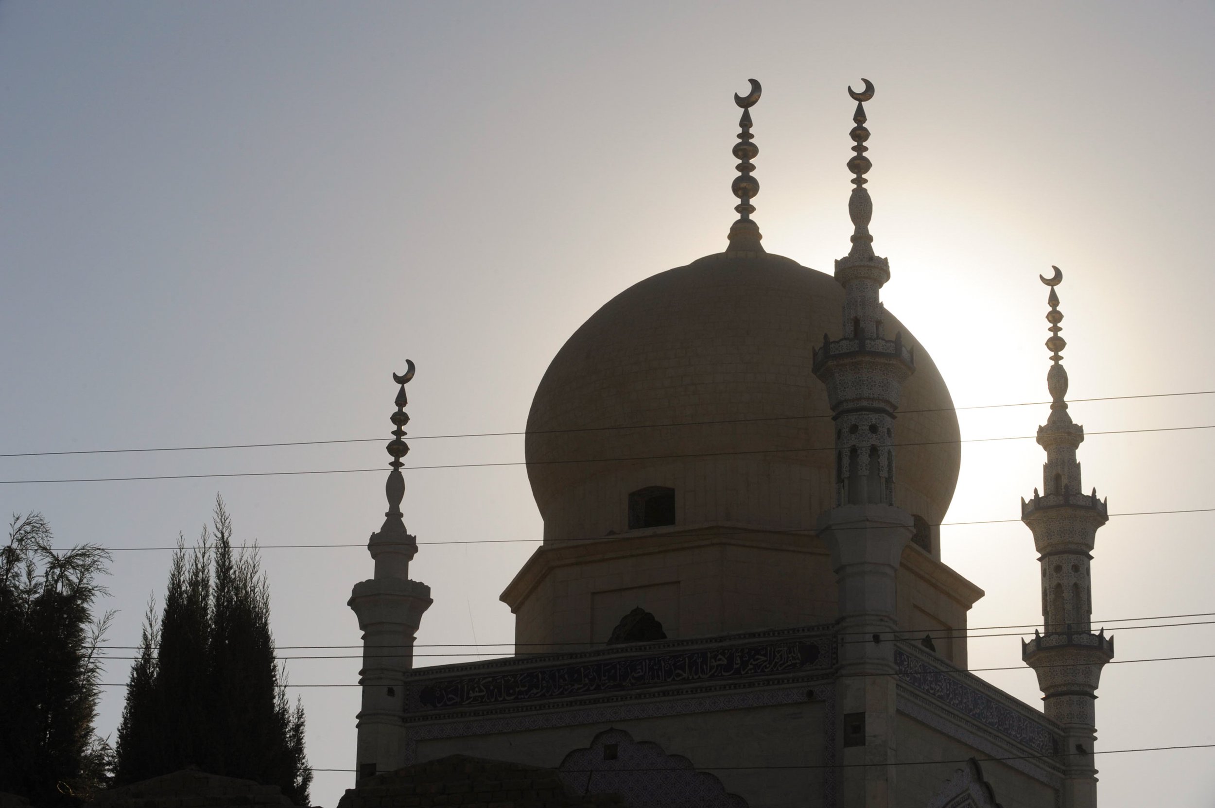
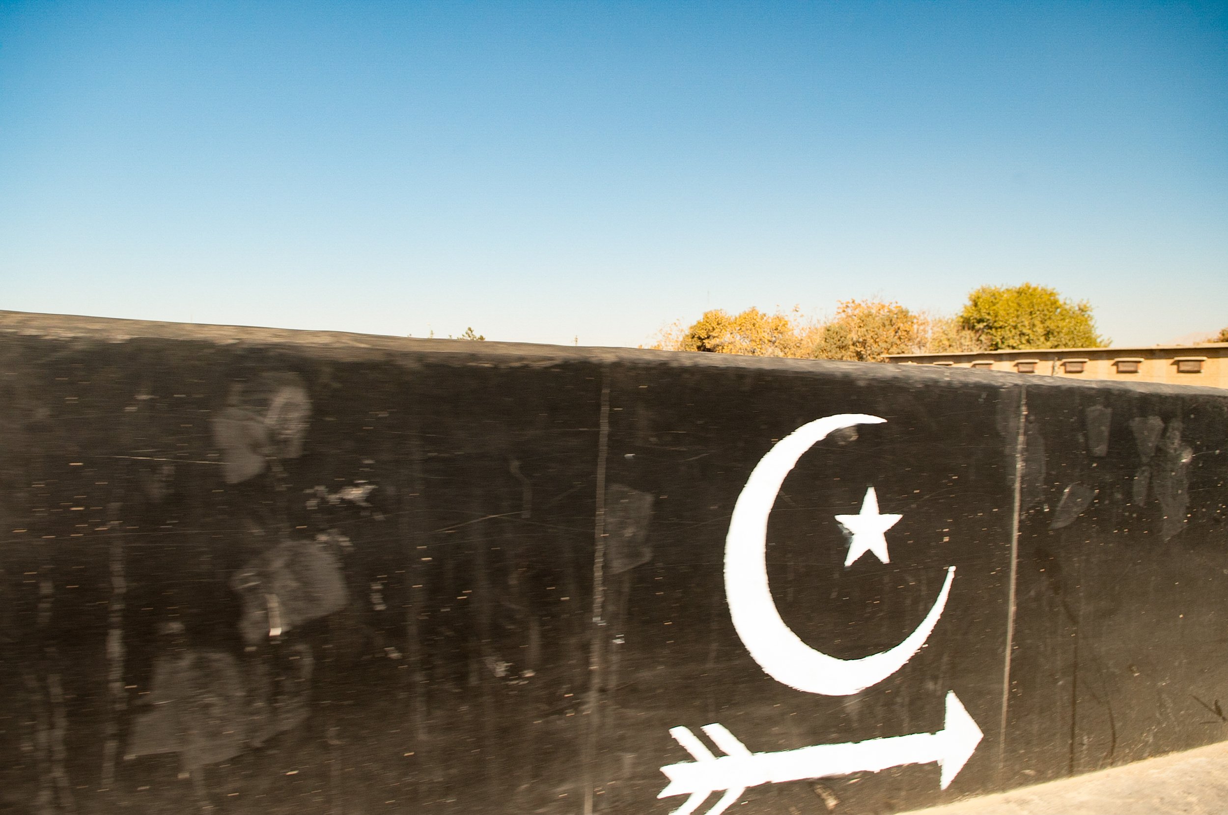
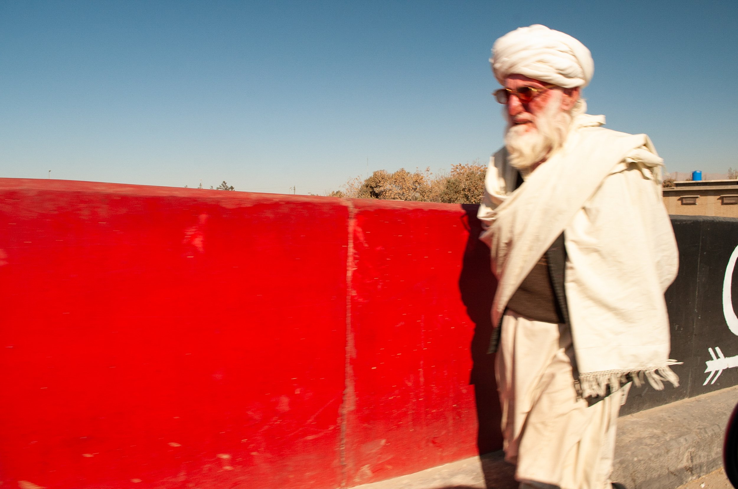
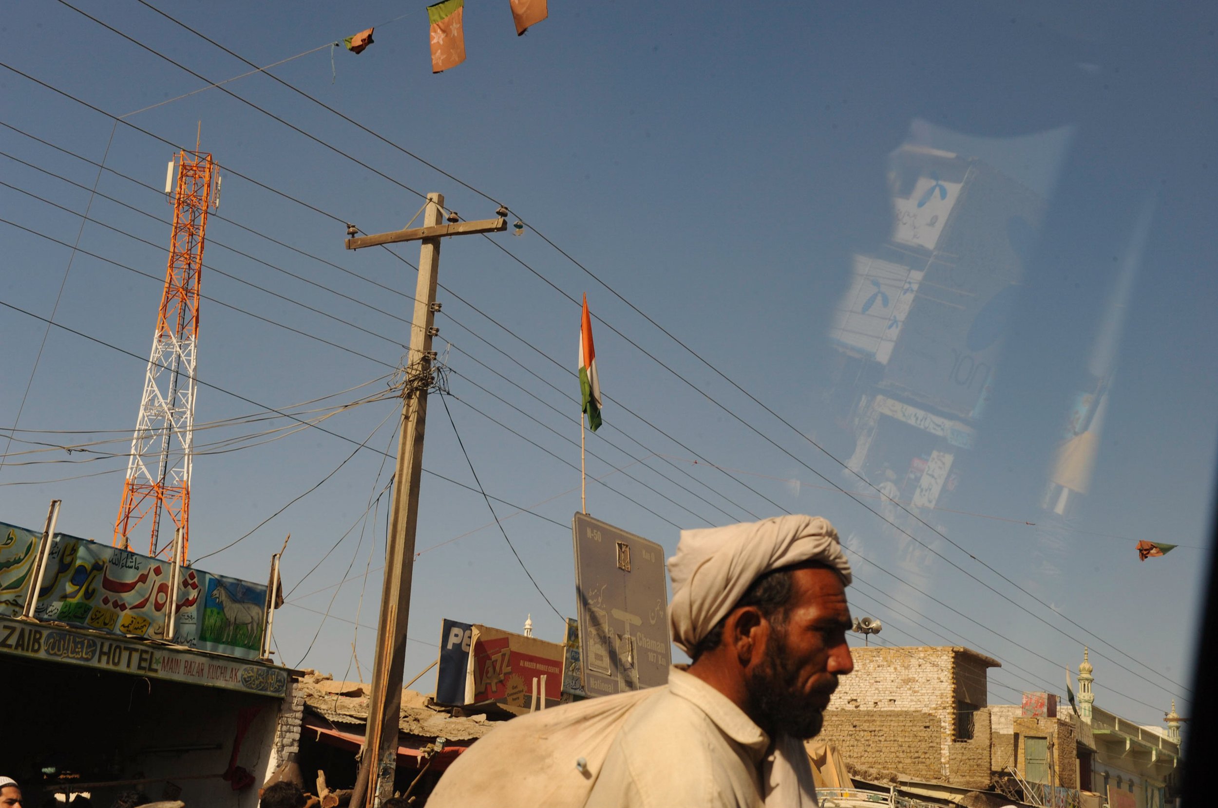
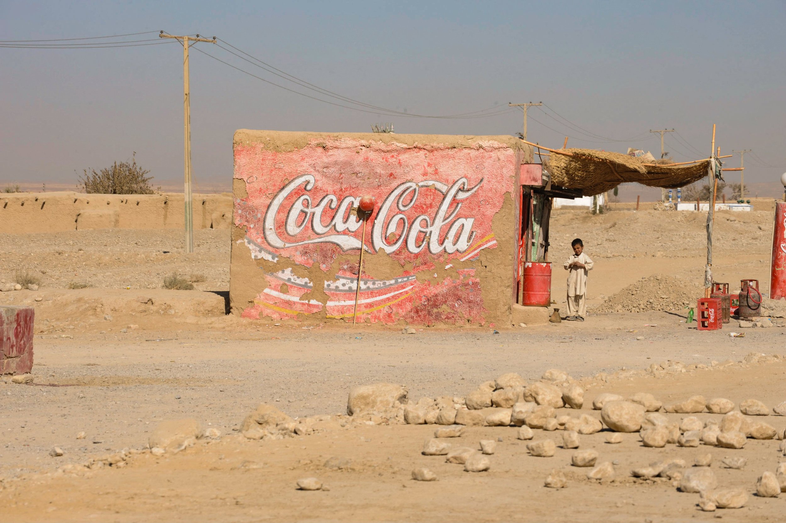
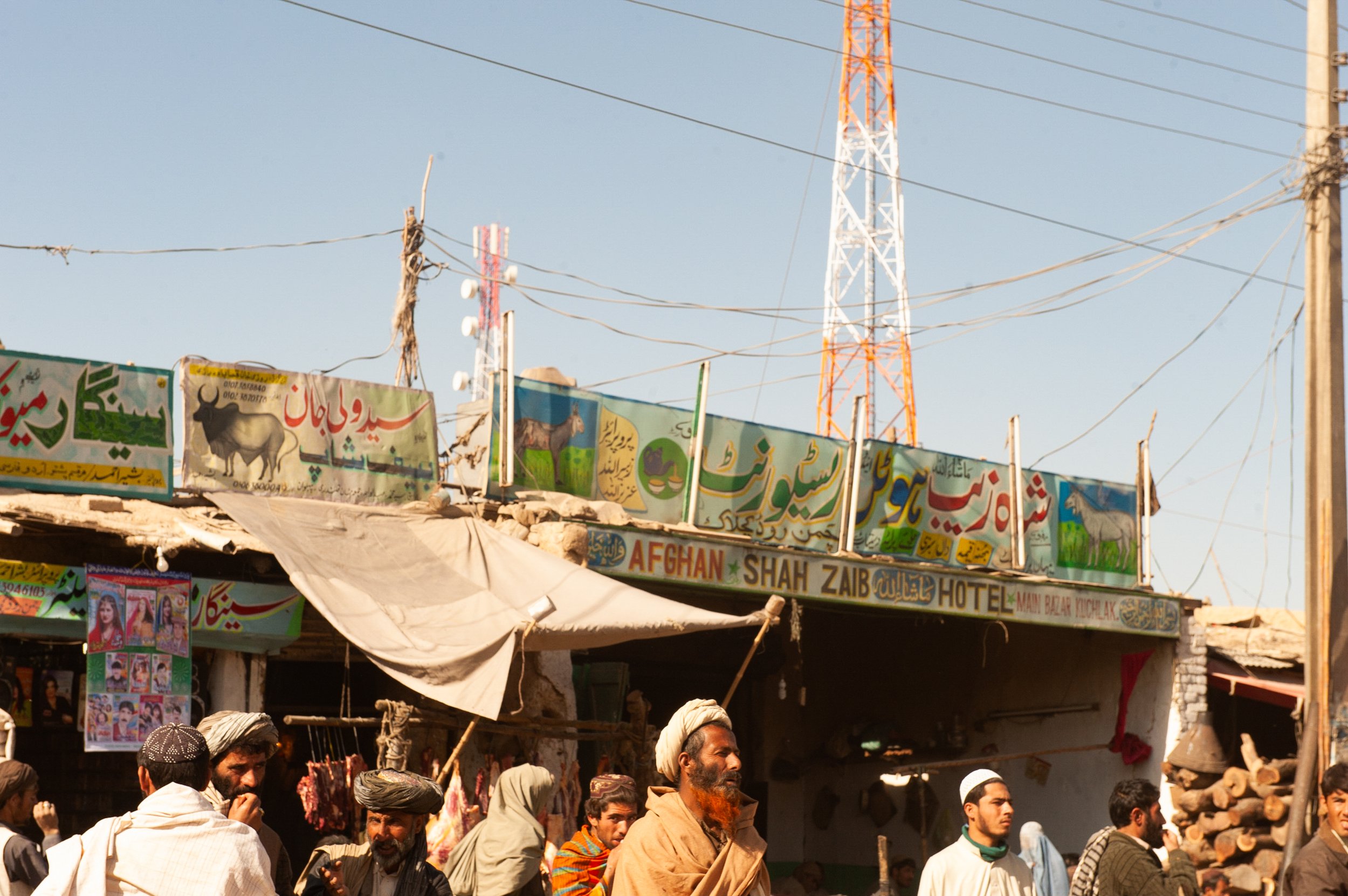
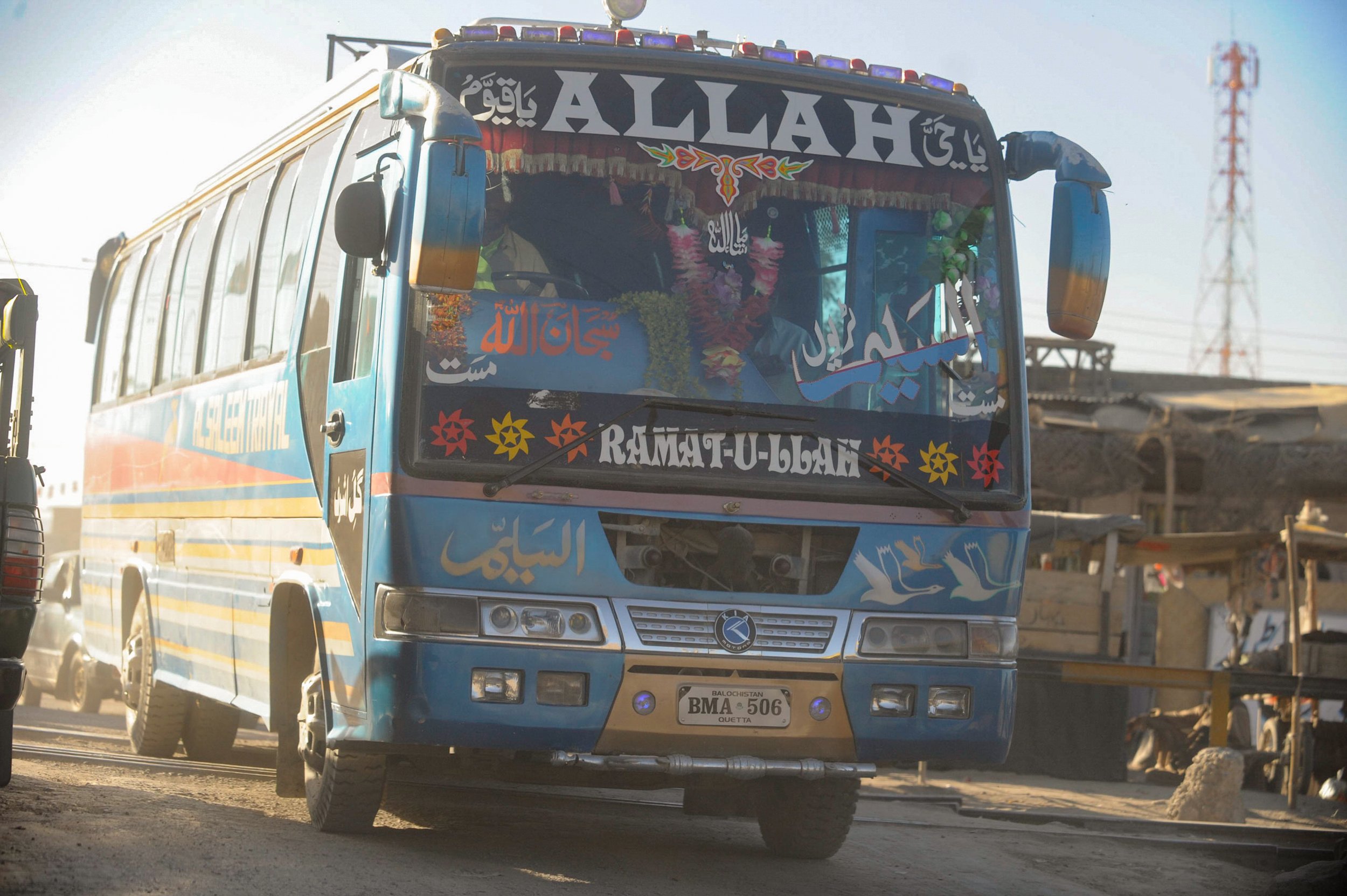
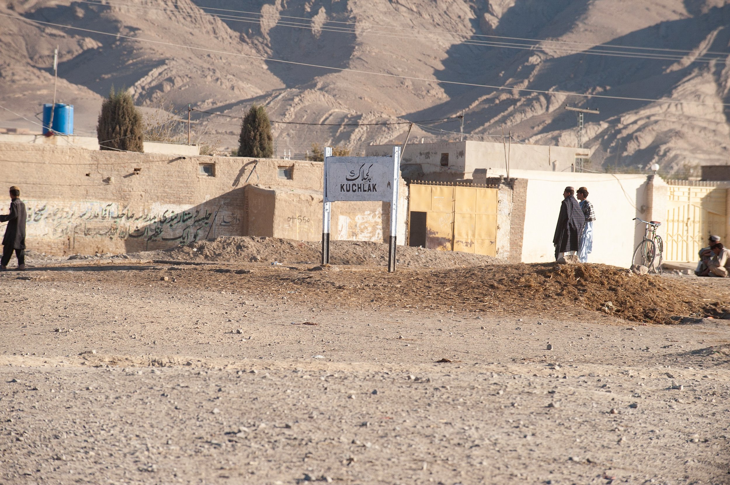
Field movement through Balochistan required negotiation across multiple control systems including military checkpoints, tribal authority zones and politically influenced transit corridors. Wall markings and flags frequently indicated organisational or ideological territorial presence along supply and access routes
Reference Material — The Tigers of Baluchistan
Contextual Reference Object
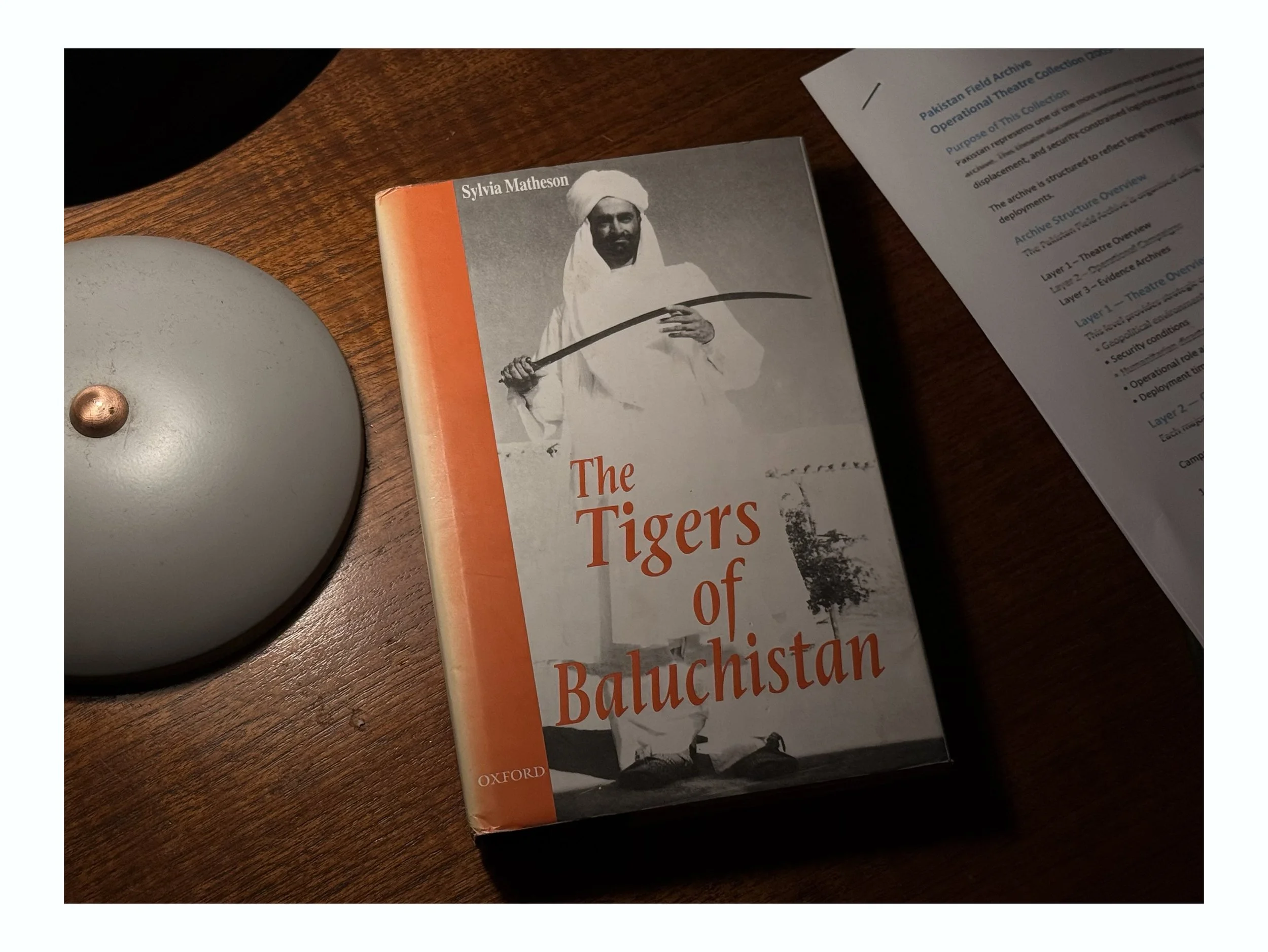
The Tigers of Baluchistan
This publication was acquired in Quetta during operational deployments in Balochistan. The Tigers of Baluchistan documents the Bugti tribal regions and provides rare ethnographic insight into tribal power structures, territorial control, and the social organisation of remote desert communities.
During the deployment period, access to independent contextual material was limited. Printed regional publications such as this provided cultural, historical, and political background relevant to understanding the operational environment, local authority networks, and the long-standing tensions surrounding resource development and tribal governance.
The book is presented here as a field reference object rather than a literary work. It forms part of the wider knowledge framework used to interpret geography, population structures, and regional instability encountered during deployments across Balochistan.
Reference
Matheson, S. (1968). The tigers of Baluchistan. Oxford University Press.
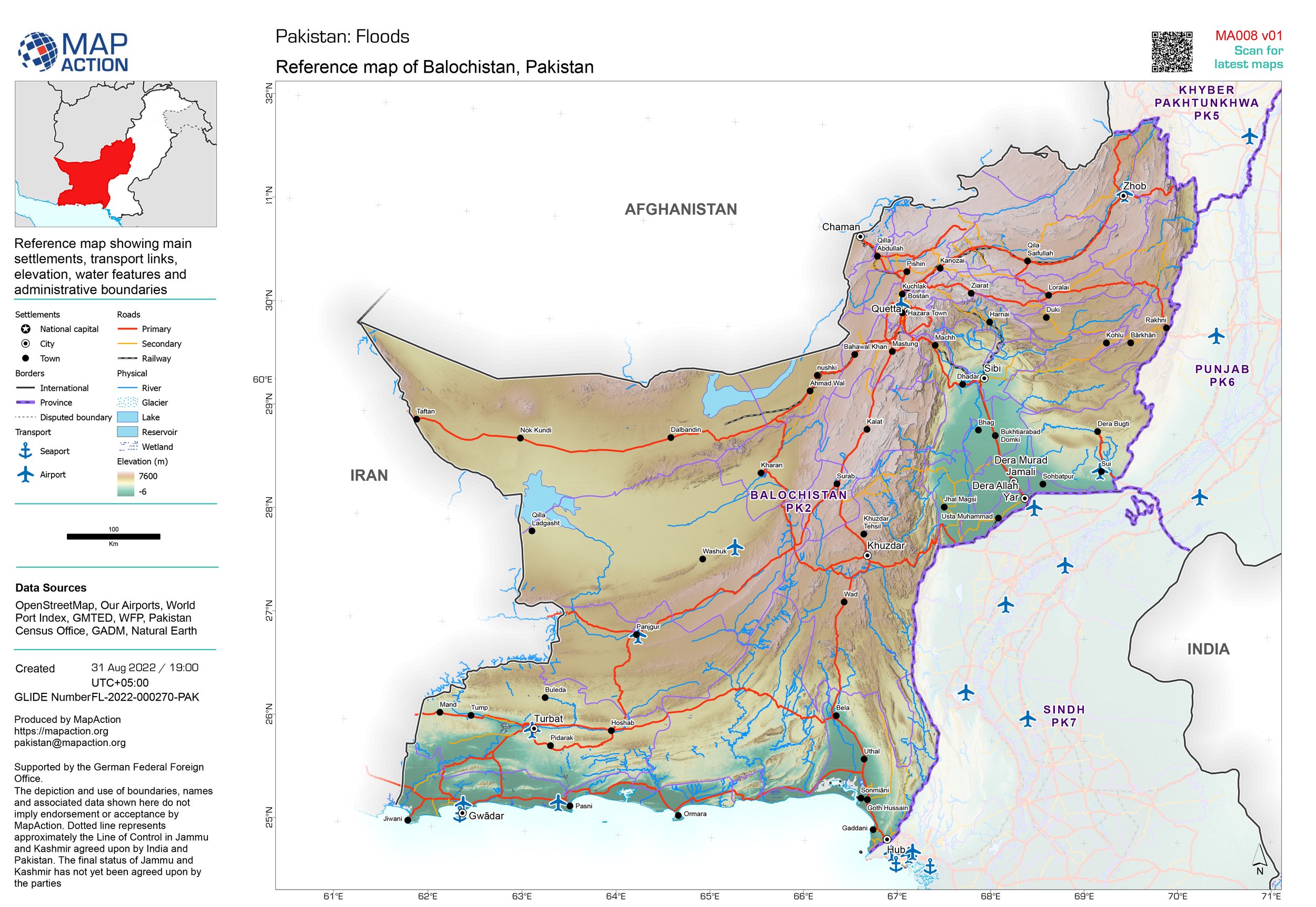
Balochistan, Pakistan — Reference map showing settlements, transport routes, elevation and administrative boundaries across southwestern Pakistan. The region formed a primary operational movement corridor during humanitarian deployments. Map produced by MapAction.
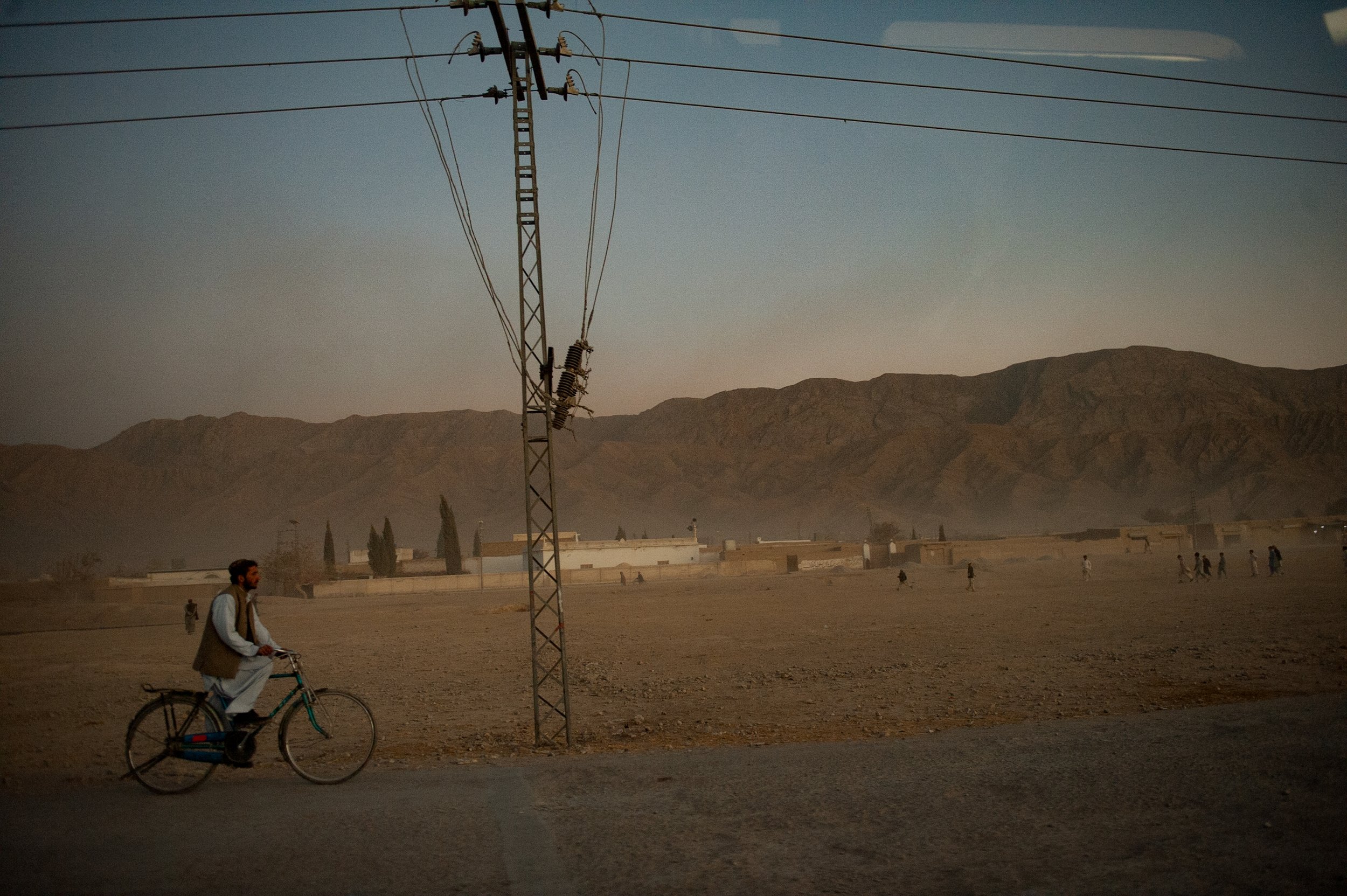
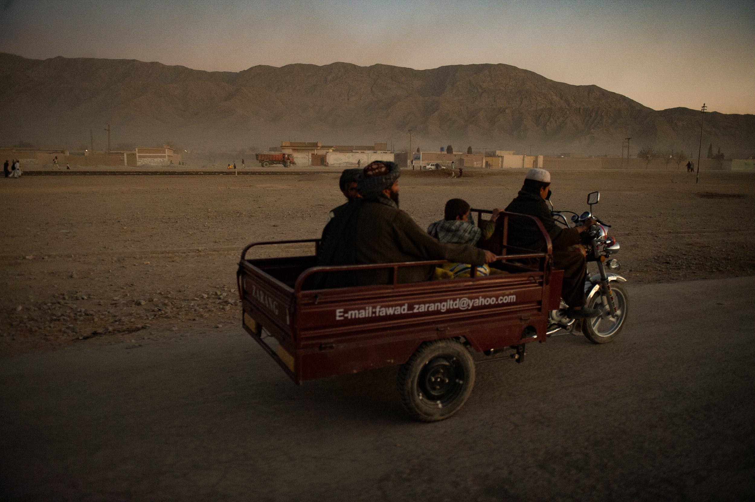
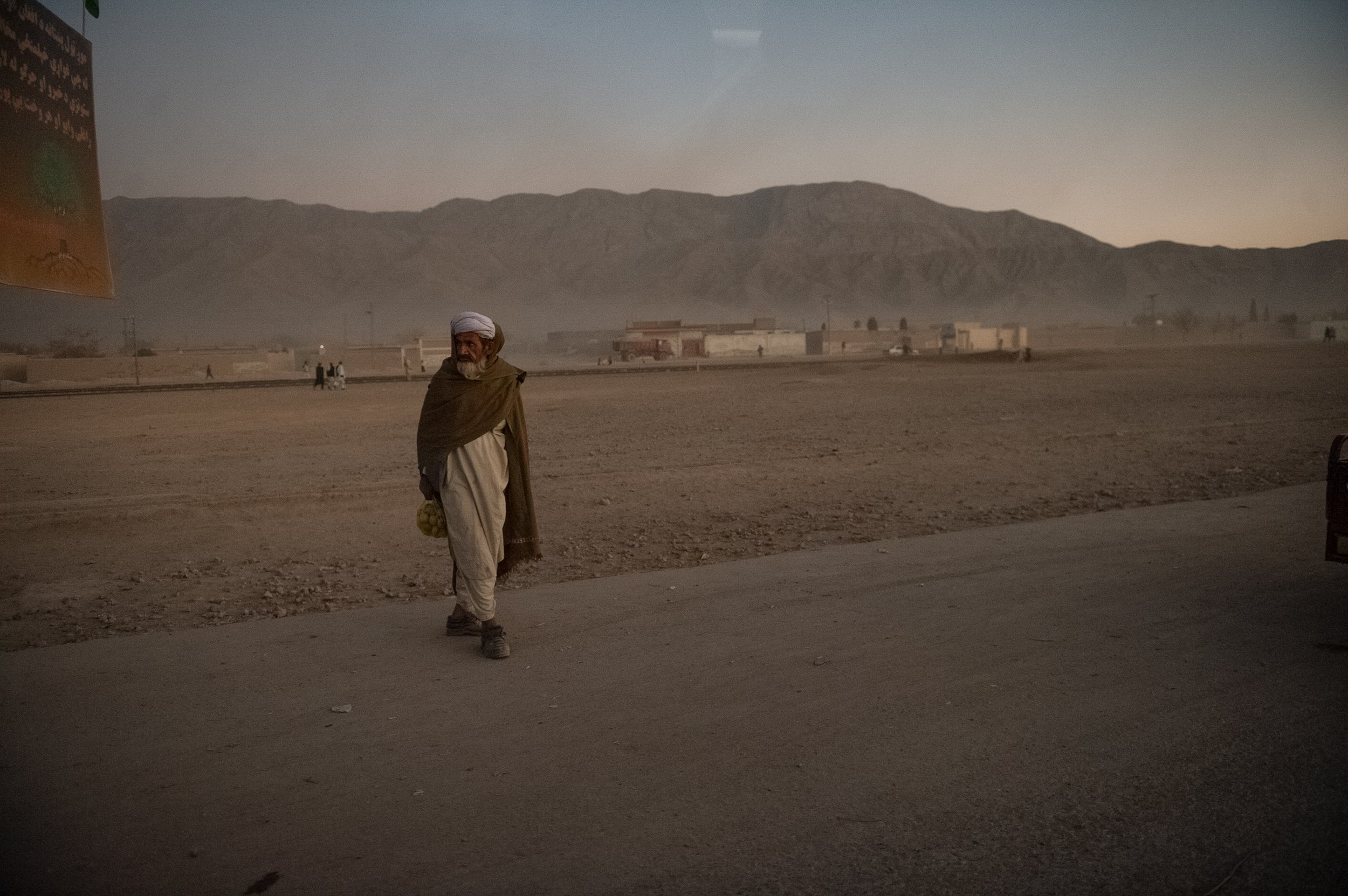
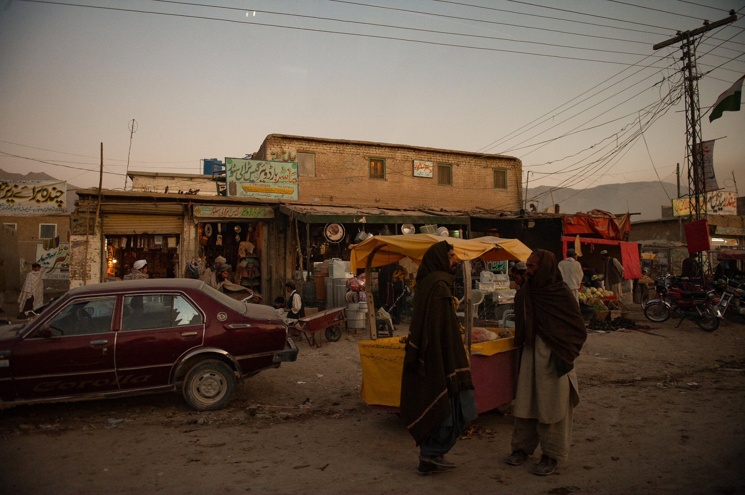
BALOCHISTAN, Pakistan (2007–2012)
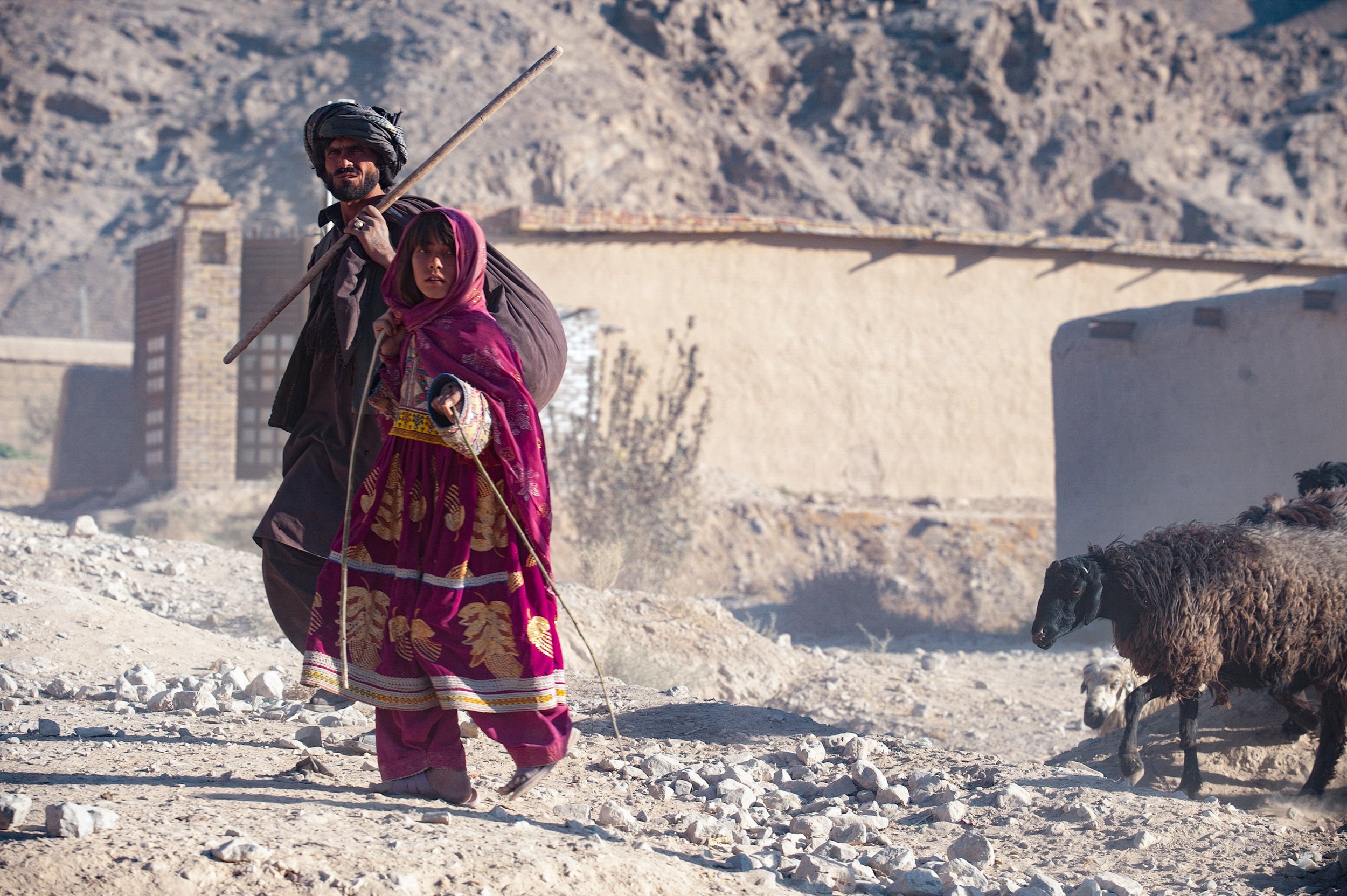
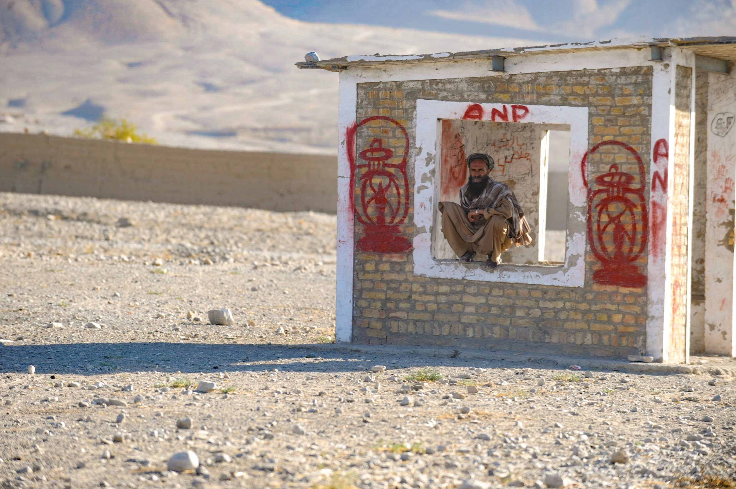
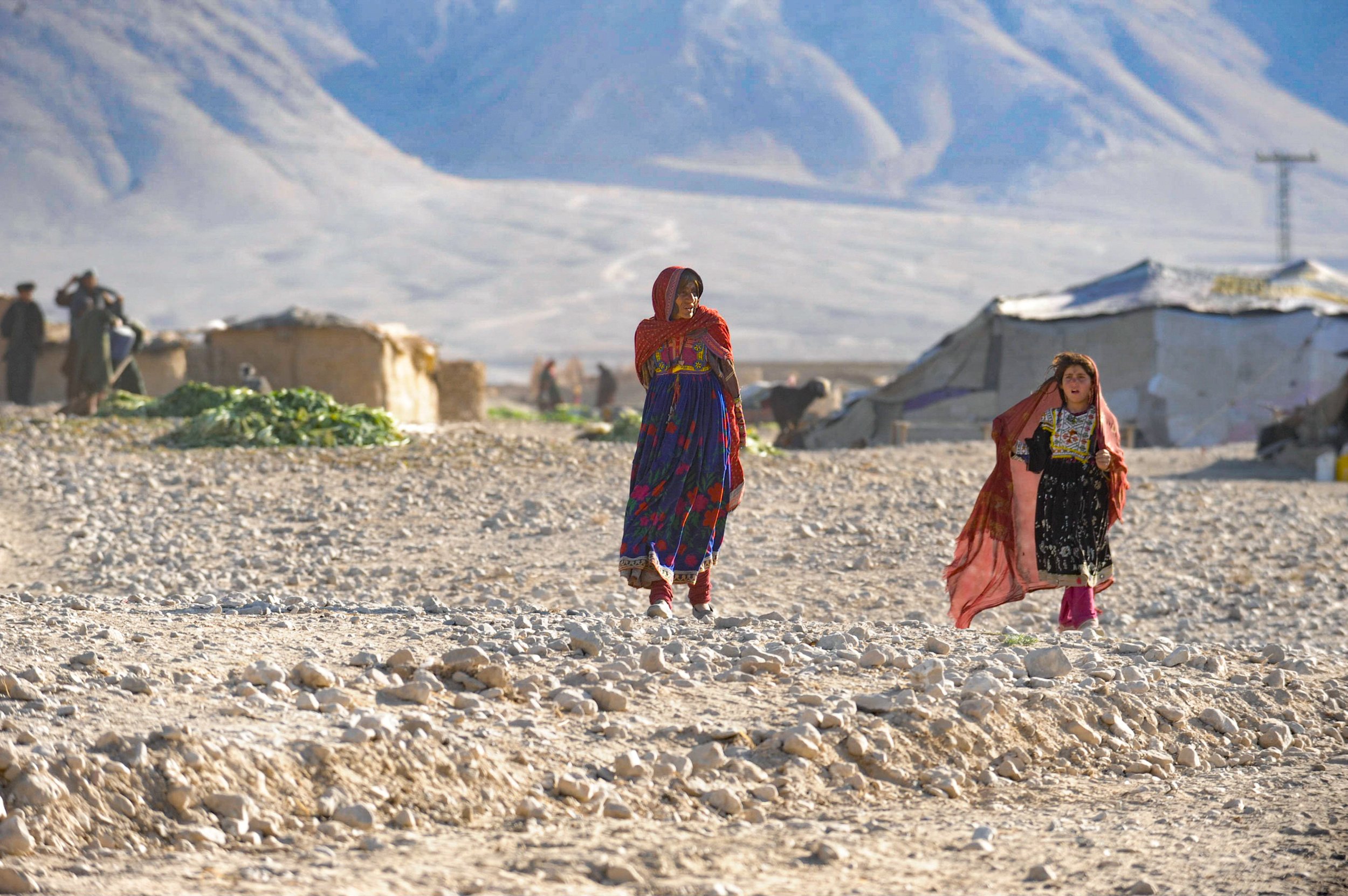
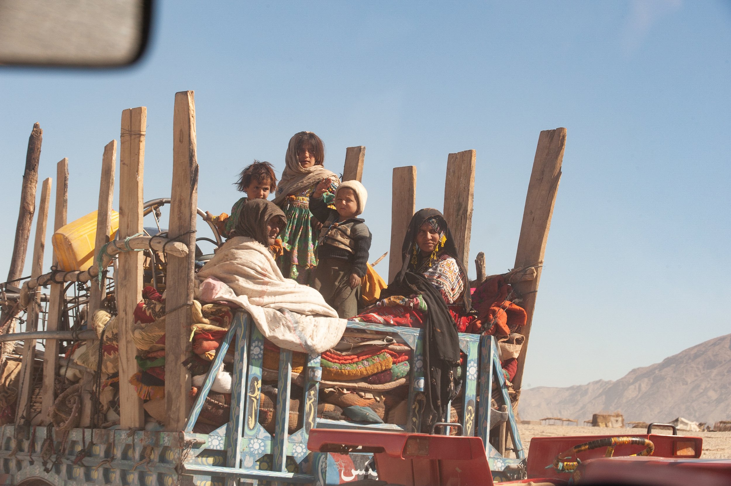
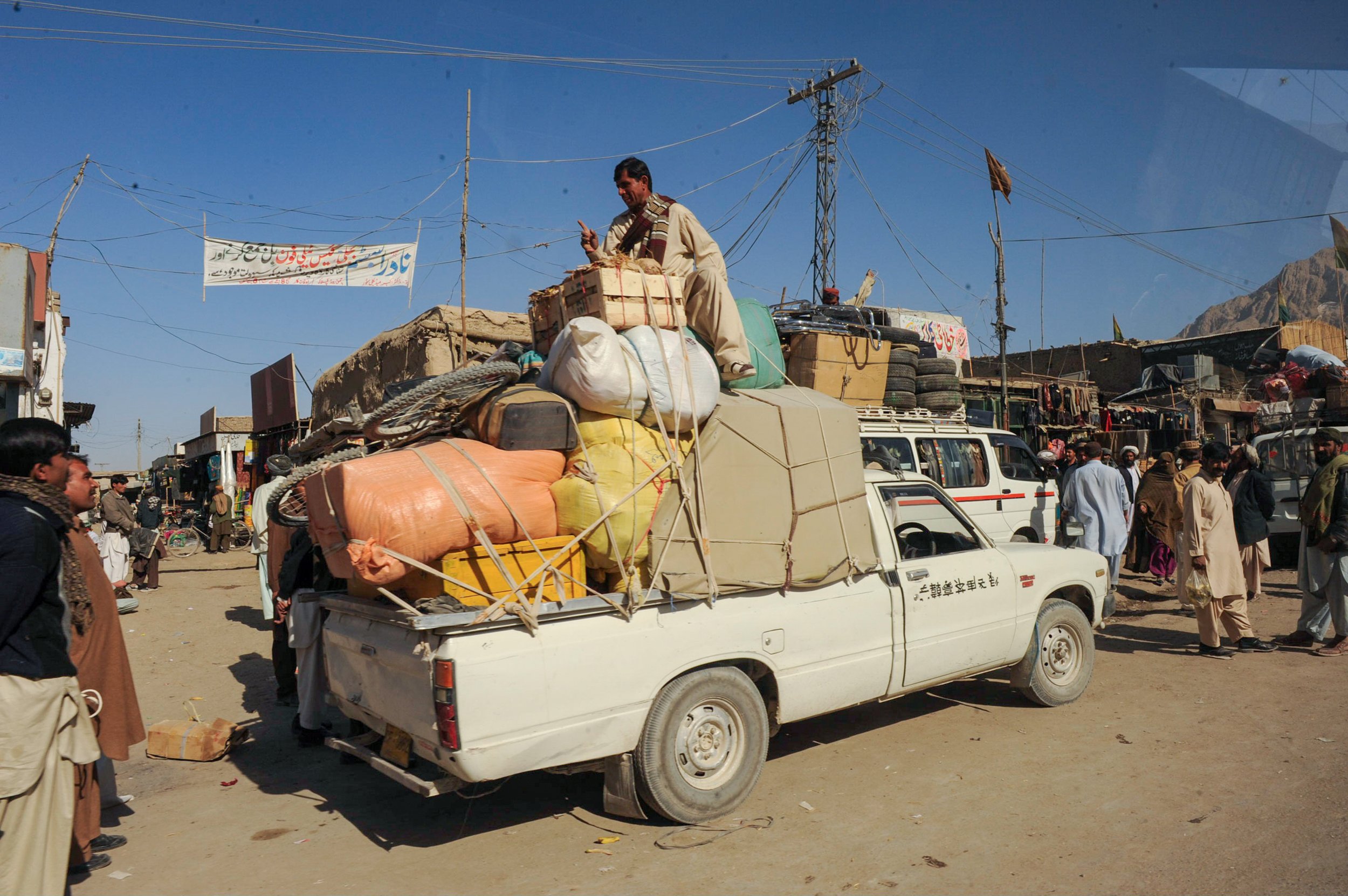
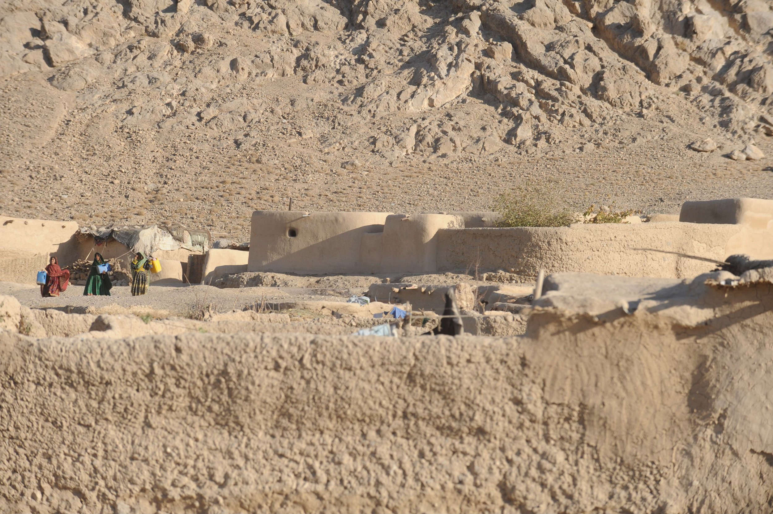
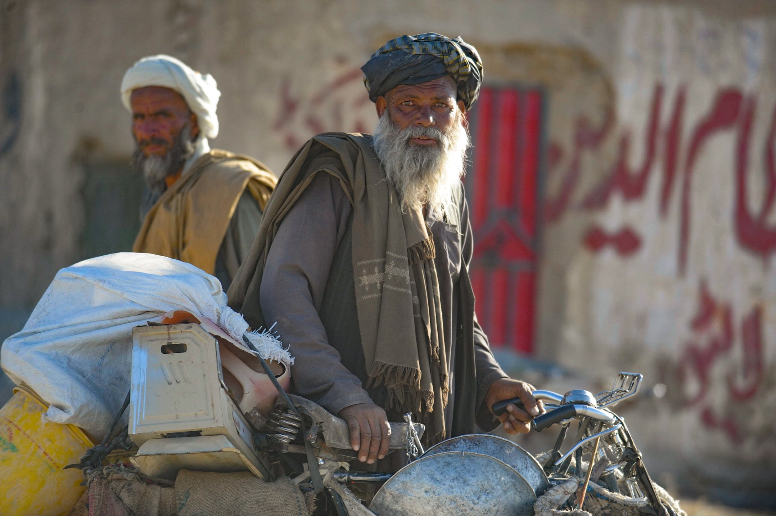
Field deployments were conducted across Balochistan province during a period marked by insurgent activity, natural disasters and restricted humanitarian access. Operations centred on Quetta, Ziarat district and surrounding tribal territories where foreign movement required military clearance and armed escort.
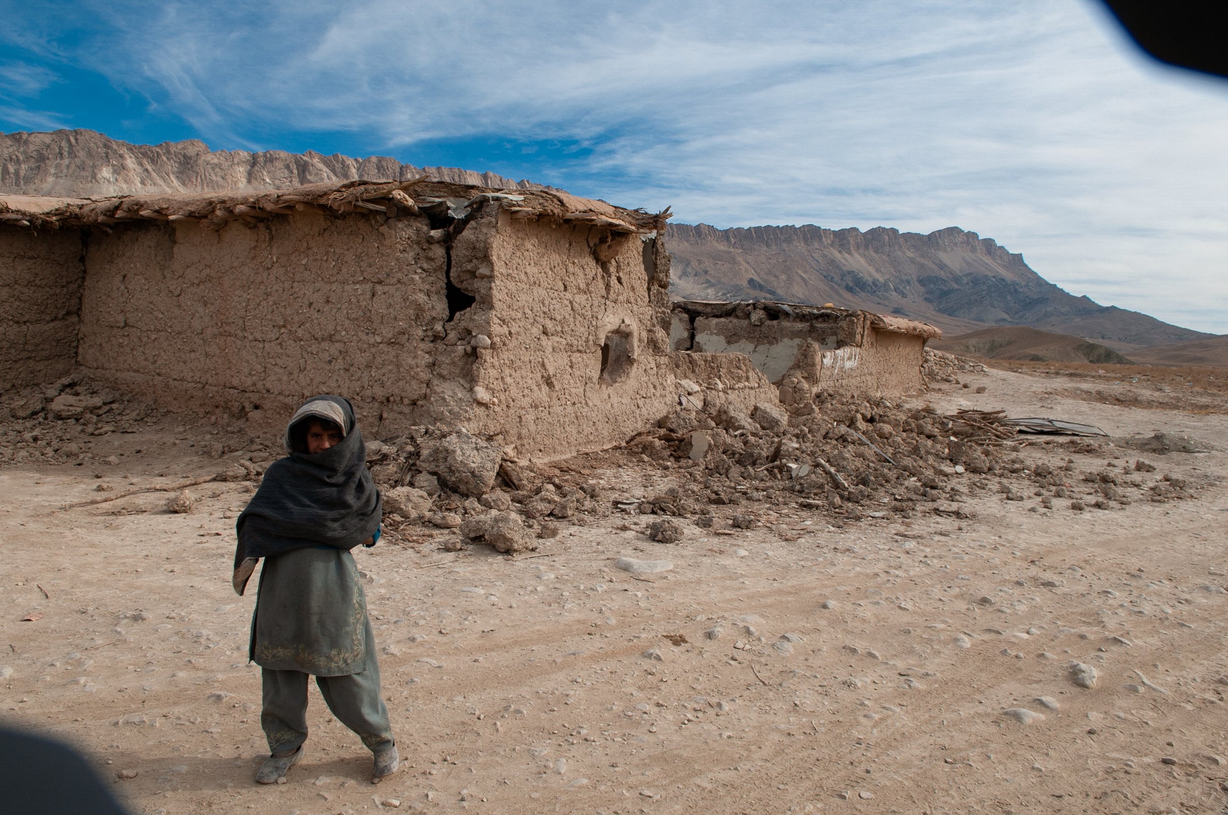
Earthquake damage and conflict displacement left villages destroyed and thousands without shelter or basic infrastructure. Aid distribution and assessment work took place under Pakistani military supervision, with travel controlled through government permits and security checkpoints. Humanitarian convoys were routinely subject to route approvals, vehicle inspections and night-time movement restrictions. Interaction with local communities was mediated through tribal elders, military liaisons and provincial relief authorities.
The province functioned as a strategic transit corridor linking Afghanistan and Iran, where smuggling networks, tribal militias and Taliban-aligned groups operated alongside civilian populations and humanitarian agencies. The overlapping presence of informal power structures and armed actors complicated access, protection of staff and the impartial delivery of assistance. Clearances often required negotiation at multiple levels and travel plans were continually revised in response to shifting security reports.
Field documentation from this period includes operational photography, video, diary records and convoy movement logs produced during escorted humanitarian deployments. The photographic record emphasises damaged settlements, temporary shelters, distribution points and the mechanics of escorted logistics: checkpoints, convoy formations and interaction between military escorts and relief personnel. Diary entries detail daily operational constraints, permissions obtained, local interlocutors, and the human impact of displacement. Convoy movement logs record timings, routes, vehicle manifests and incidents or detentions encountered en route.
These materials together provide a multi-layered account of humanitarian operations in a contested environment: the material consequences of disaster and conflict, the procedural frameworks required for movement and assistance, and the lived experience of communities navigating survival amid competing authorities.
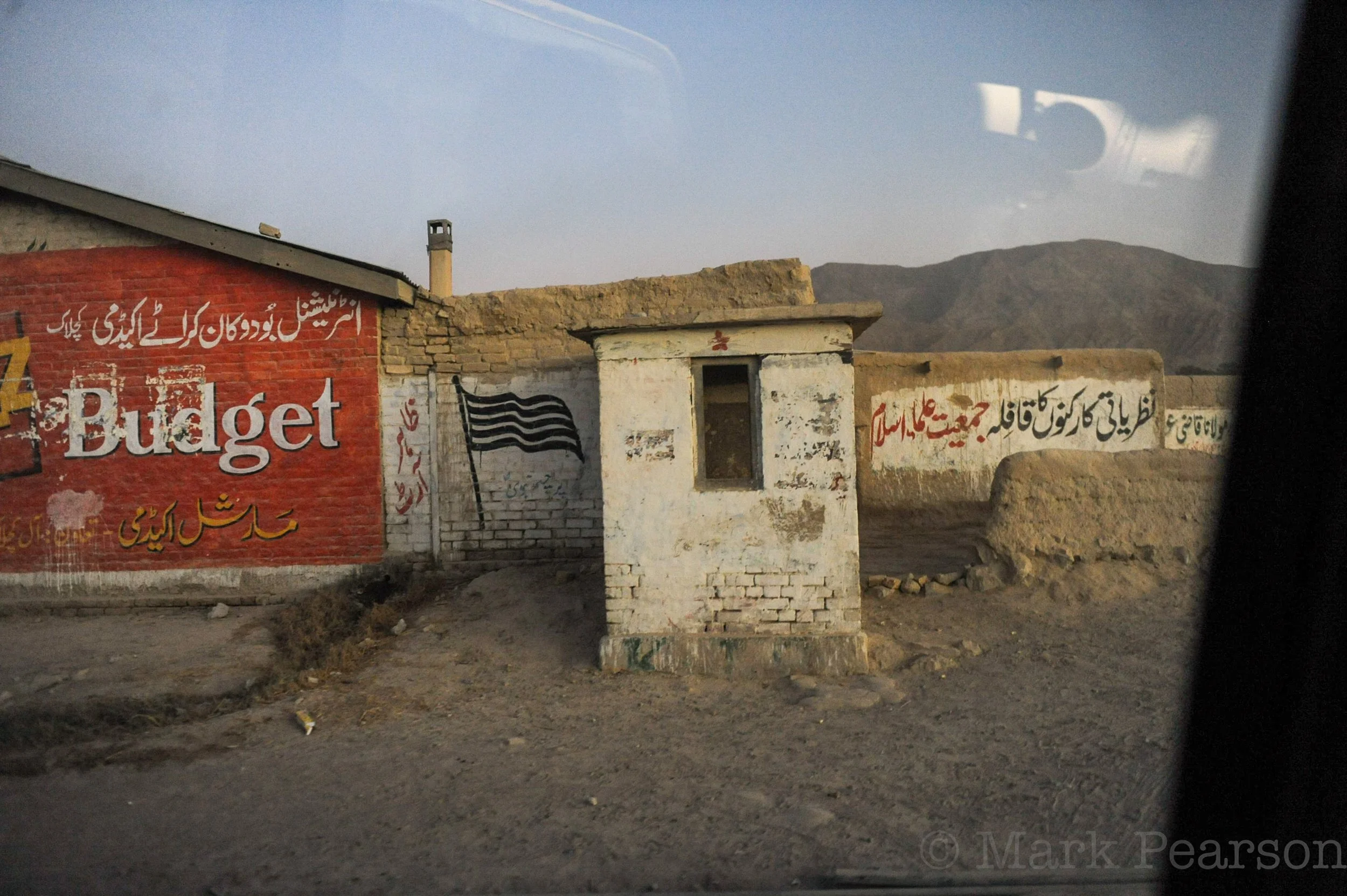
BALOCHISTAN, Pakistan — Roadside wall markings and checkpoint structures photographed along a transit corridor in Balochistan during humanitarian field movement operations, c. 2008. Visible signage includes commercial checkpoint messaging and political wall writing associated with Jamaat-e-Islami. A black striped flag marking, commonly used by the organisation, is displayed on the structure. The Urdu text translates in part to “Ideological Workers of Jamaat-e-Islam.” The area functioned as a controlled movement zone requiring coordination through military, tribal and logistical authorities. (Mark Pearson / Field Archive 2001–2014)