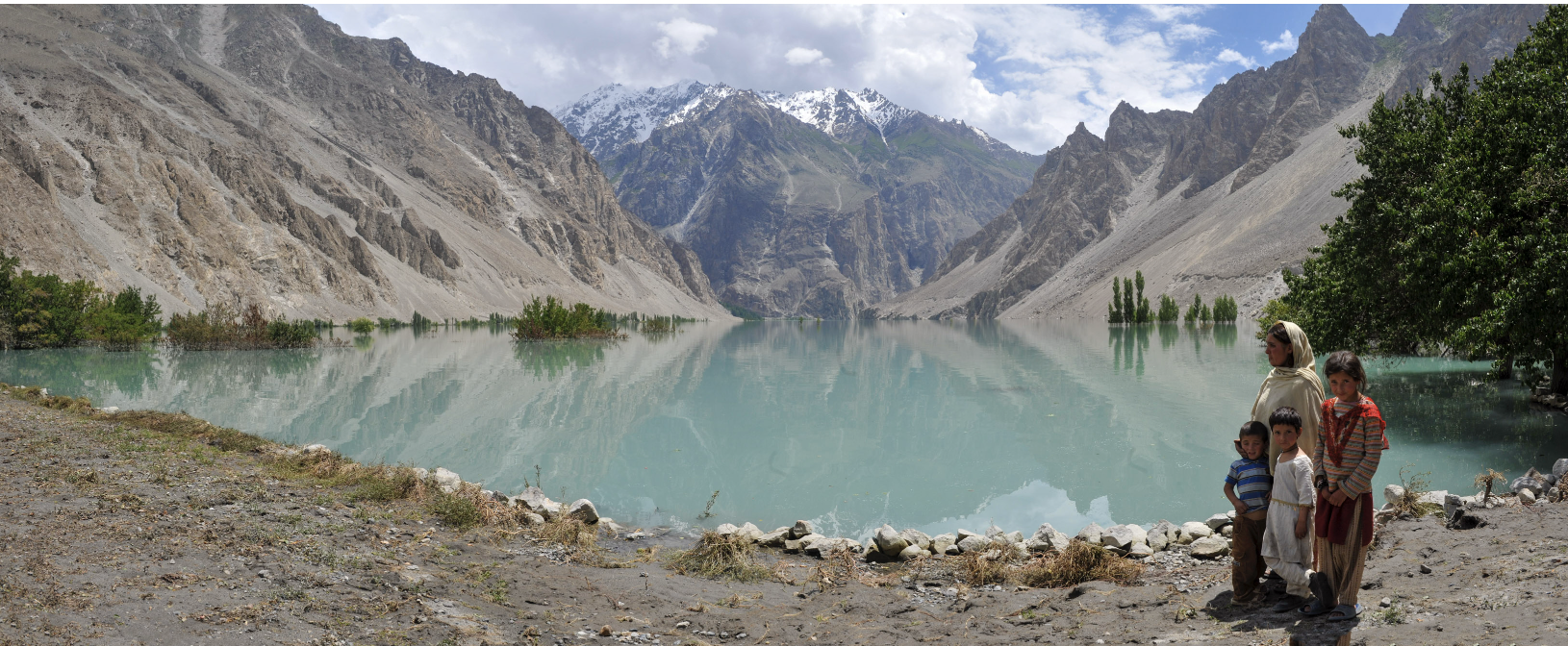
Upper Hunza, Pakistan, 2010 — A temporary lake formed after glacial flooding reflects the surrounding mountains as local residents stand on the shoreline; boats were used to move civilians after road access was cut. © Mark Pearson
Part of a wider operational archive documenting infrastructure failure, 2001–2014.
In early 2010, glacial flooding in Upper Hunza, northern Pakistan, resulted in the formation of a temporary lake following a major landslide and ice melt event. Road access along the Karakoram Highway was severed, isolating multiple communities. Civilian movement and supply transport were conducted by boat across the flooded valley.
The material presented here documents conditions during the period of displacement and interim transport prior to infrastructure repair.
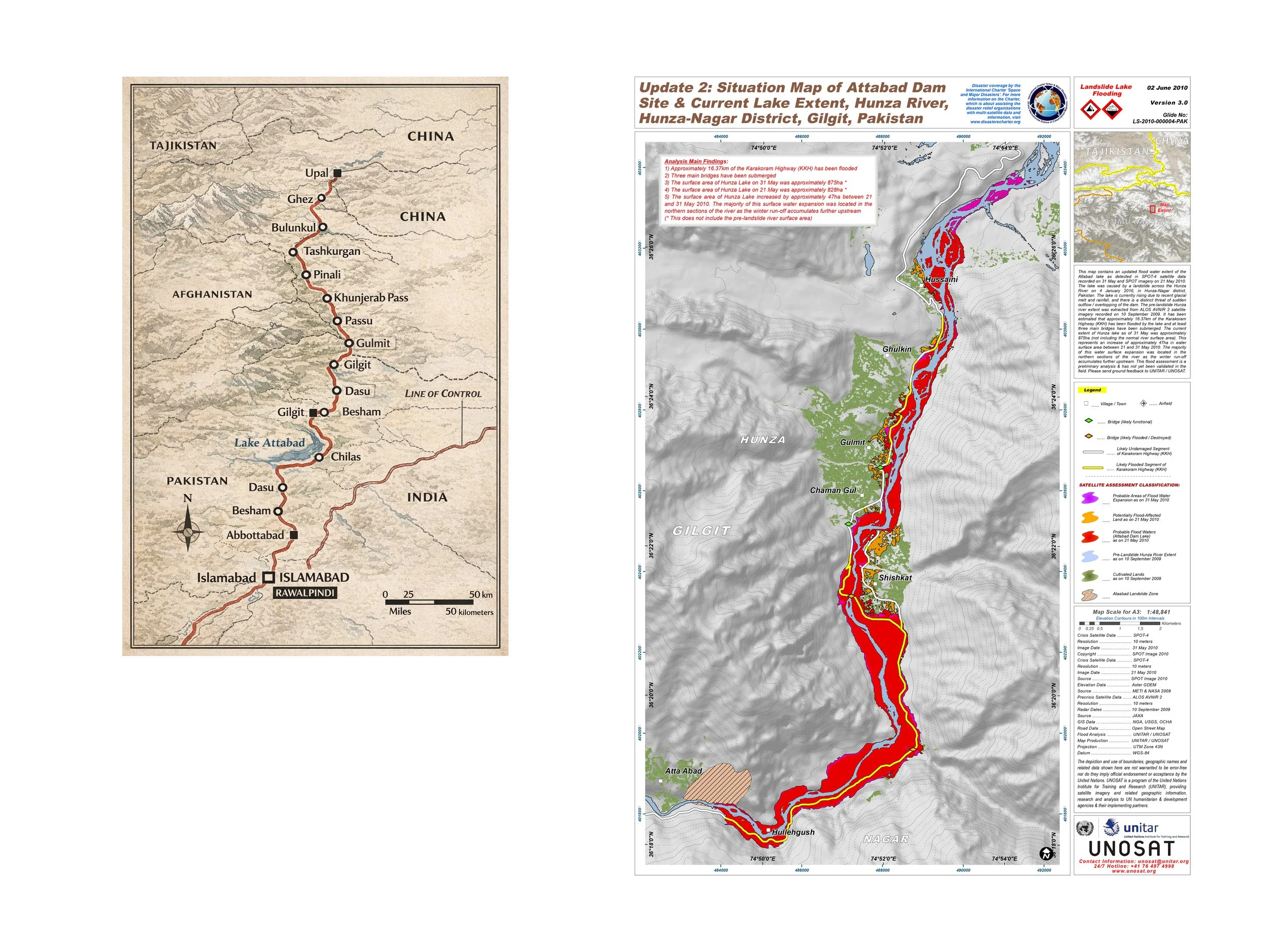
Locator map (left) and situation map (right) showing the Attabad landslide dam site and lake extent, Hunza–Nagar District, Gilgit-Baltistan, Pakistan, June 2010. Sources: locator map (artist); UNITAR/UNOSAT.
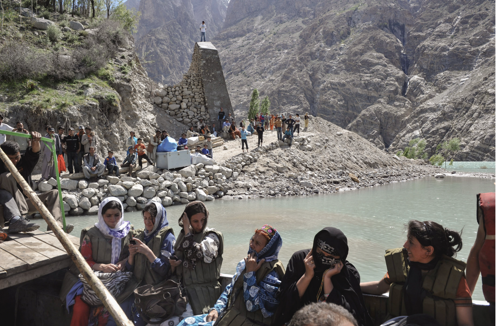
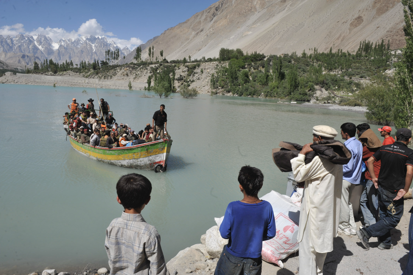
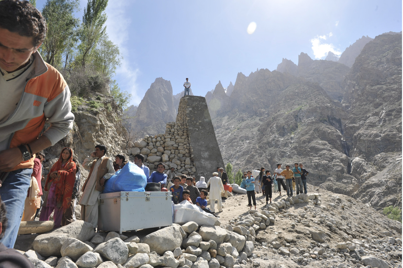
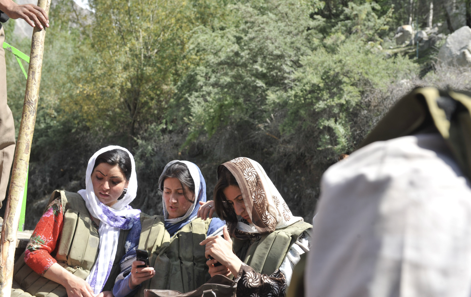
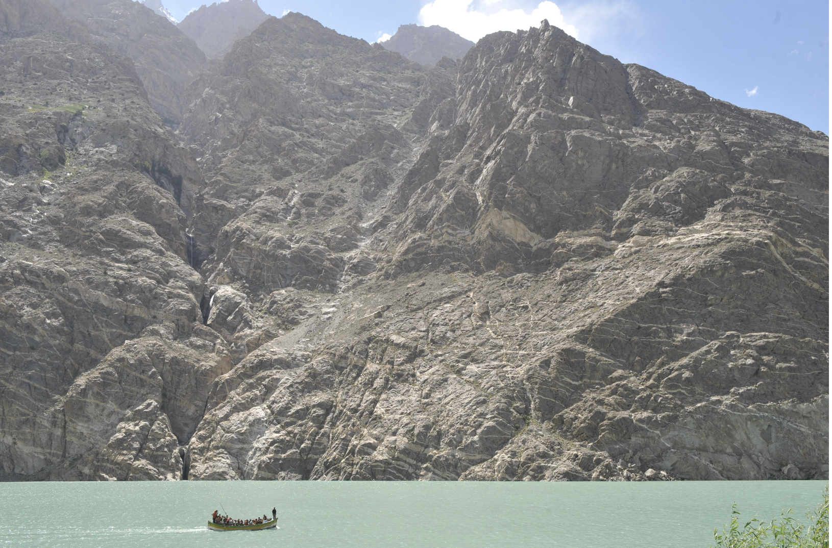
Field material recorded during access disruption following the Attabad landslide and subsequent lake formation. Images document interim transport by boat, local movement corridors, and conditions prior to full infrastructure restoration.
Field Notebook Extract
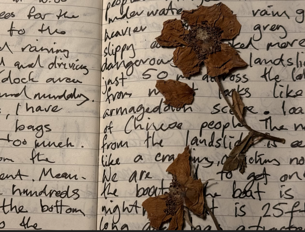
Field diary pages recorded during movement from Islamabad toward Upper Hunza following the Attabad landslide flooding, Gilgit-Baltistan, Pakistan, July 2010. Personal operational record.